
Beyond
the dunes.
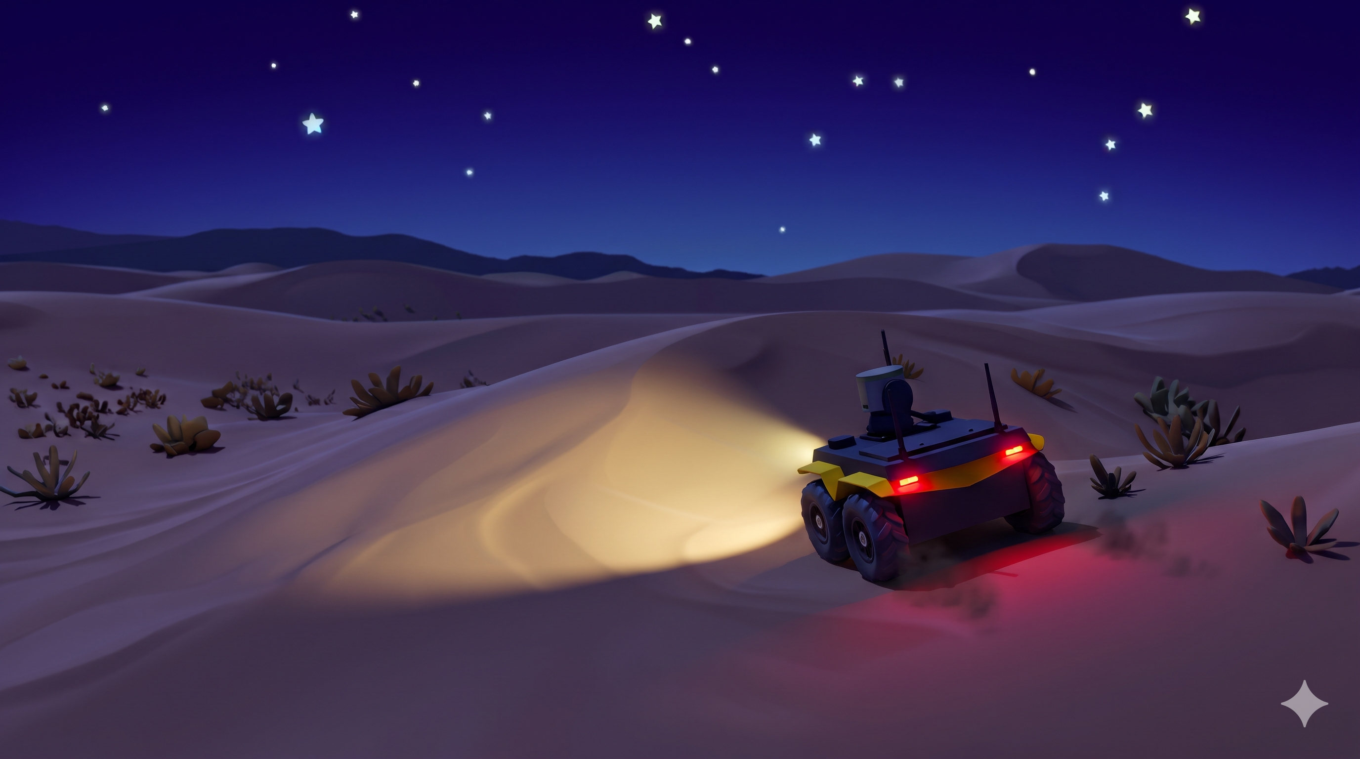
The flagship autonomous robotics challenge. Match noisy terrain clues, track visual beacons, and reverse-engineer telemetry inside ROS 2 & Gazebo.
import rclpy
from rclpy.node import Node
from geometry_msgs.msg import Twist
from beyond_the_dunes.msg import ElevationPatch, VisualJolt

class AutonomousRover(Node):
    def __init__(self):
        super().__init__('autonomous_rover')
        self.cmd_pub = self.create_publisher(Twist, '/cmd_vel', 10)
        self.dem_sub = self.create_subscription(
            ElevationPatch, '/arena/clue', self.on_clue_received, 10
        )
        self.get_logger().info('Rover online. Listening for 30×30m DEM clues...')

    def on_clue_received(self, msg: ElevationPatch):
        # Match local heightmap fragment against 400×400m global terrain
        coords = self.match_terrain_fragment(msg.height_matrix)
        self.navigate_to_target(coords)
self.trigger_beacon(msg.target_aruco_id)[00:04.21] [DEM MATCH]: Fragment P̃_1 correlated at (x: 184.2m, y: -42.8m) — 99.1% match [00:09.65] [NAV]: Waypoint trajectory engaged. Linear velocity: 1.2 m/s [00:15.82] [BEACON]: ArUco ID #42 detected at 3.4m. Rover heading aligned. [00:17.04] [REFEREE]: Checkpoint 1 verified. Visual Jolt HUD signature [+, 0] recorded.
Total Prize Pool
Awarded to top 3 autonomous teams
Global Elevation Grid
OpenTopography realistic terrain
Mission Checkpoints
Gated sequentially by referee
PRNG State Space
Pruned via multi-bar visual HUD
Simulation Runtime
Gazebo Harmonic on dedicated GPUs
Team Size
Verified college participants
400×400m Terrain Expedition Route
Trace the progressive path of the Clearpath Jackal rover across all five sequential checkpoints in Gazebo Harmonic.
Checkpoint 1: Sand Crest Ridge
Noisy DEM Correlation
Receive noisy 30×30m patch via /btd/checkpoint_clue and correlate against 400×400m global DEM matrix to lock target coordinates.
Normalized 2D Cross-Correlation (NCC) threshold r ≥ 0.90 required to filter noise artifacts and lock waypoint.
Simulate the Four Core Algorithms
Test and observe the exact robotics principles participants encounter during an official Beyond the Dunes mission run.
2D Normalized Cross-Correlation
Referees provide a noisy 30×30m elevation fragment. Slide the patch along the matrix axis to maximize the Pearson correlation coefficient.
10-Slot Pixel-Art Telemetry Bar
At each checkpoint, the rover observes the 10-slot visual HUD bar. Slots expose dynamic UP (+), STILL (0), or DOWN (-) states used to crack the master PRNG seed.
Food parameter F ∈ [0..19]. Candidate seed S₀ branches across 10⁶ ticks.
Level: 9/10 blocks illuminated.
Filtered across 5 sequential checkpoints to 1 unique master tick.
Architected for Autonomous Systems
Engineered for teams who think in algorithms.
Zero legacy bloat. Fast turnarounds. Built on modern robotics benchmarks.
400×400m Terrain Correlation
Every world features authentic OpenTopography elevation models. Correlate noisy 30×30m patch fragments against the global elevation matrix to recover precise expedition coordinates.
Zero SLAM Overhead
Ground-truth robot 6-DOF pose is streamed directly from the referee. Focus 100% of your compute on navigation strategy, computer vision, and state recovery.
Gazebo Harmonic
Native ROS 2 Jazzy execution with ODE physics, high-fidelity GPU lidar, camera sensors, and standardized vehicle twist commands.
Automated GPU Runner & Live Standings
Submit controller ZIP packages via CLI or Web. Code runs inside an isolated container with private mission seeds, yielding verified score sheets and public leaderboard rankings.
Official Qualifier Leaderboard
Ranked strictly by highest progression, then task score, with sim time as tiebreaker.
| Rank | Team & Affiliation | Progression | Task Score | Sim Time |
|---|---|---|---|---|
| 1 | Dust Circuit IIIT Allahabad | 5 / 5 CP | 1,485 pts | 8m 42s |
| 2 | Sand Nomads IIT Roorkee | 5 / 5 CP | 1,420 pts | 9m 15s |
| 3 | Dune Drifters BITS Pilani | 5 / 5 CP | 1,390 pts | 9m 58s |
| 4 | Vector Ridge IIT Kanpur | 4 / 5 CP | 1,180 pts | 11m 02s |
How to Participate
From zero to qualifier standing.
Register with College Email
Sign in with your institutional .edu or .ac.in email. Set up a secure password to maintain persistent browser access.
Assemble Your Rover Team
Form a team of 2 to 4 verified college students. Generate your unique 6-character invite code and invite your teammates.
Test & Submit Controllers
Download the baseline ROS 2 Jazzy workspace. Test against open practice worlds, then submit your bundle to the GPU queue.
Ready to push the boundary?
Join universities from across the nation in the ultimate test of autonomous navigation, computer vision, and reverse engineering.